Chapman’s Peak: Nordhoek beach route

The Cape Peninsula is home to some of the most incredible, challenging and jaw-droppingly beautiful hiking trails in the world. Our first hike in the area was this one–Chapman’s Peak via Nordhoek beach, and it did not disappoint. The Chapman’s Peak hike is one of the most rewarding hikes in the area as it delivers incredible views, beautiful flora and a soundtrack of the ocean.
Part of Table Mountain National Park which stretches across 70km from Signal Hill in the North to Cape Point in the south, Chapman’s Peak is a hiking must-do whilst you’re in the area, and is also part of the 13 peaks challenge. The summit stands at 567m but you’ll feel on top of the world once you get up there and soak in the panoramic views across the ocean and Hout Bay.

Start point: Park at Nordhoek Beach car park and walk down to the beach https://maps.app.goo.gl/Js2t2Pjn5nXDfhDW9
End point: Same as start point
Average duration: 3.5 hours return
Distance: 5km return
Elevation gain: 550m
When to go: This trail is open year round but just be mindful of conditions in winter months or extreme winds which can arrive any time of the year in Cape Town
Difficulty: Hard
Maps/Info: All Trails provides a great downloadable map which will sync onto Google maps/Maps me/other formats as required:
https://www.alltrails.com/trail/south-africa/western-cape/chapman-s-peak-via-noordhoek
TOP TIPS:
Hiking boots needed, but take them off if you want for the start/end on the beach
Get ready to use your hands and scramble - wear climbing gloves if you usually use them
Take your swimming gear - you can jump in the sea at the end on Nordhoek beach
Slather on the suncream and take plenty of water and a hat
Don’t hike alone in Cape Town - safety is key

The hike:
We arrived at Nordhoek Beach car park around 9.20am on a Sunday and it was already completely full. This is later than we usually start a hike on a hot day, but we were doing a housesit at the time and looking after 3 dogs that needed walking and feeding, and the house was a 20 minute drive away.
Because the beach car park was full, we parked alongside the road near the car park–there are no restrictions here on time or where you can park, so it’s perfectly safe to do this, and there were other people already parked along the road. Don’t leave any valuables in your car, as cars are sometimes stolen in Cape Town.
Go down to the beach through the car park and via the boardwalk. This is in great condition and keeps you off the sand for a little while. But, all good things come to an end, and the boardwalk was no exception. Hike along the sandy beach for a few minutes, and stick close to the right hand side steep dune-like area. You’ll come to a wooden post in the sand. If you look behind you and to the right, you’ll see a trail heading off up the steep sandy bank.

Head up this steep sandy trail and enter the woodlands area. You’ll see signs for Monkey Valley which you should follow. This is accommodation but the trail goes around the property. The path can be difficult to follow at times as there are some steps and paths crisscrossing all over the place, but keep heading up and you’ll eventually meet the main road–Chapman’s Peak Drive.

As soon as you meet the road, you’ll see the path which starts directly opposite. Cross safely and head up the stairs to start the route. The hiking trail is immediately very steep and provides good views over the road and Nordhoek beach as soon as you’ve walked for a few minutes. Take it slow and steady as some sections of the wooden stairs are worn away and can be trip hazards.

The trail flattens out after some time and you skirt to the left hand side of Chapman’s peak. You’ll need to walk in single file as the path is a narrow ledge from this point on. The views are absolutely amazing here over the Atlantic Ocean and the beach and road below. The flora in the area, or ‘fynbos’, is unique and picturesque, with rare shrubs in a variety of colours which clash against the ocean on the horizon.

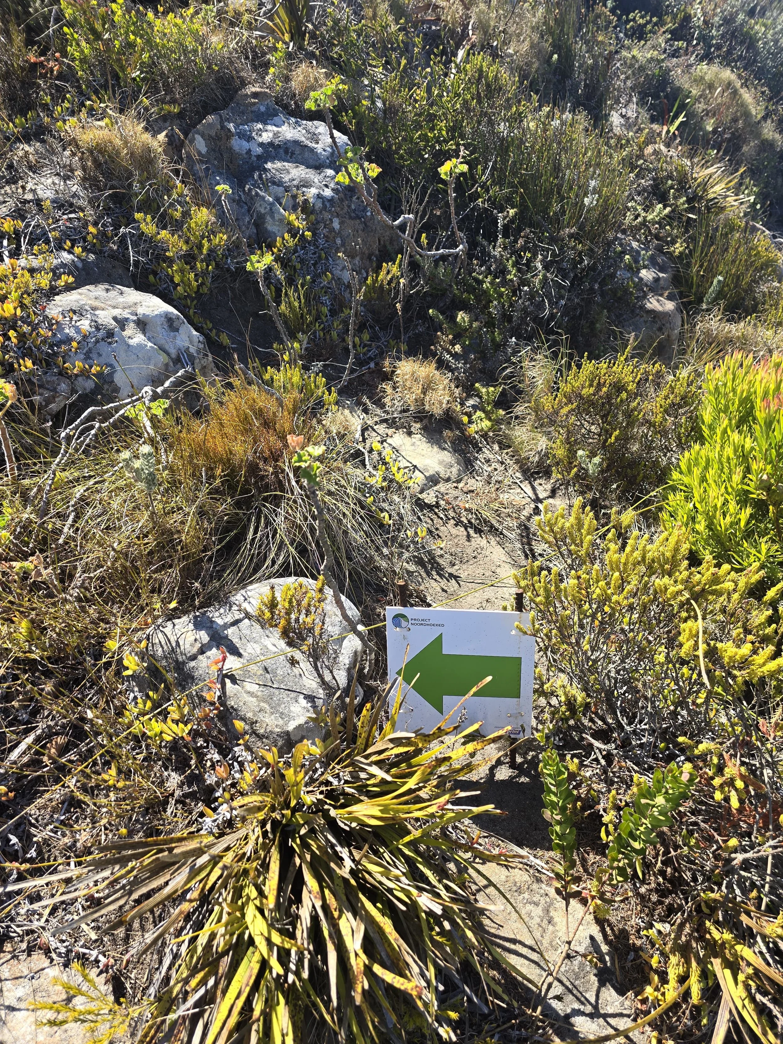
Just when you start to enjoy some flat sections of the trail, it begins to wind upwards again. Some areas are steep and rocky, and at points we thought the path was unclear, but on looking around we spotted that there are several arrows pointing the way! These continue until the summit which is really helpful and makes hiking this trail easier.
You come to a place where you can catch your breath about half way up, and you can sit on the boulders here to rest and have some water and snacks, as well as soak up the views. Once you’re ready to keep heading upwards, and tackle some more tricky terrain, leave the ‘rest area’.

After this point there is some seriously fun scrambling. Rock climbing has never been an ambition of mine, but I do enjoy scrambling when hiking. Some of the boulders were huge and I struggled to pull myself up, but I am 5ft2! Take your time here and help each other up the tricky sections, not going too close to the person in front of you, so they don’t feel rushed.

Once we’d scrambled this section, we could pretty much see the peak. There was another section of trail which was less steep and easier to hike, and rounding the next bend we saw many people at the top. Just one final scramble to get ourselves up there, and then we spent about 30 minutes soaking up the panoramic views down across Hout Bay and the surrounding ocean.

The route back is a reverse of how you got up there. Or, you can do what we did, and hike down the busier route, ending here on Chapman’s Peak Drive:https://maps.app.goo.gl/qXcrSzdUQ94xNgjs8
From here, we hitchhiked back to Nordhoek. However, many people don’t recommend hitchhiking in Cape Town due to safety reasons, so it’s up to you!
Whichever way you get back to Nordhoek, make sure you head to Aegir Project Brewery for a pint of Tropical Thunder. You won’t regret it.
